
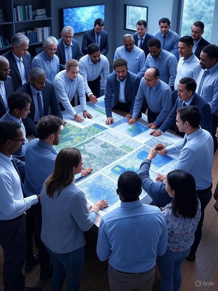
Training on GIS and Remote Sensing for Epidemiology and Public Health
Master GIS and remote sensing for public health. Learn disease mapping, outbreak monitoring & data analysis in this hands-on 10-day course.
Next intake
20 Jul 2026 · Nakuru
Duration
10 days
Live instruction
Delivery
Physical + Virtual
Cohort based
Level
Intermediate
Working professionals
Certification
NITA reimbursable
For Kenyan cohorts
Language
English
All materials
About this programme
This training provides participants with an in-depth understanding of how GIS and remote sensing technologies can be applied in epidemiology and public health. It covers data collection, disease mapping, environmental monitoring, outbreak prediction, and public health decision-making. Participants will work through hands-on exercises and case studies, gaining practical skills to analyze spatial health data and design evidence-based interventions. By the end, participants will be equipped to apply geospatial tools for real-world health challenges, resource planning, and crisis response.
Duration
10 Days
Who Should Attend
-
Public health professionals, epidemiologists, and disease surveillance officers
-
Health program managers, planners, and policymakers
-
GIS specialists and data analysts in health-related fields
-
NGO, donor, and government health project staff
-
Academic researchers and graduate students in public health and spatial sciences
What you'll walk away with
By the end of the training, participants will be able to:
-
Apply GIS and remote sensing in epidemiological research and public health planning
-
Collect, clean, and manage health-related geospatial datasets
-
Conduct disease mapping, hotspot analysis, and environmental risk assessment
-
Utilize remote sensing imagery to monitor environmental health indicators
-
Communicate geospatial findings effectively for decision-making and advocacy
What we cover, module by module
Module 1: Foundations of GIS and Remote Sensing in Public Health
- Principles of Geographic Information Systems (GIS) and spatial epidemiology
- Introduction to satellite imagery and integration with health data
- Role of geospatial tools in public health decision making
- Understanding spatial relationships in disease distribution
- Case Study: Application of GIS in malaria surveillance and control
Module 2: Geospatial Data Collection and Management
- Sources of health, demographic, and environmental data
- Data cleaning, coding, georeferencing, and validation techniques
- Building and managing spatial health databases
- Ensuring accuracy, consistency, and usability of geospatial data
- Practical: Develop a basic spatial health database using sample datasets
Module 3: Spatial Epidemiology and Disease Mapping
- Mapping disease prevalence, incidence, and distribution patterns
- Identifying clusters, hotspots, and spatial trends
- Introduction to spatial epidemiological analysis techniques
- Using maps to support public health decision making
- Case Study: Mapping measles outbreaks in rural and urban settings
- Practical: Create a disease distribution and hotspot map
Module 4: Remote Sensing for Environmental Health Monitoring
- Using satellite data to assess environmental health risks
- Monitoring air, water, and land related health indicators
- Climate and vegetation indices for disease risk analysis
- Linking environmental changes to public health outcomes
- Practical: Analyze climate data to assess potential health risks
Module 5: GIS in Outbreak Surveillance and Early Warning Systems
- Real time geospatial surveillance systems in public health
- Predictive modeling for epidemics and pandemics
- Early warning systems for disease outbreak detection
- Role of GIS in rapid public health response
- Case Study: GIS applications in Ebola outbreak response
Module 6: Accessibility and Resource Allocation Analysis
- Health facility location analysis and service coverage mapping
- Assessing accessibility and equity in healthcare delivery
- Using GIS for efficient resource allocation and planning
- Identifying underserved populations and service gaps
- Practical: Model health service accessibility and coverage
Module 7: Advanced Spatial Analysis for Public Health
- Spatial regression, interpolation, and spatial autocorrelation techniques
- Risk factor mapping and statistical health modeling
- Advanced spatial data interpretation for health planning
- Integrating statistical methods with GIS analysis
- Case Study: Tuberculosis risk mapping in urban populations
Module 8: Communicating Geospatial Health Insights
- Designing effective health dashboards and visualizations
- Data storytelling using maps and spatial outputs
- Communicating geospatial findings to policymakers and stakeholders
- Enhancing decision making through visualization tools
- Practical: Design an interactive public health map or dashboard
Module 9: GIS in Public Health Policy and Program Design
- Using GIS in immunization and health intervention planning
- Disaster preparedness and emergency response planning
- Supporting evidence based public health policy development
- Strengthening health systems through spatial intelligence
- Case Study: GIS in COVID 19 vaccination rollout strategies
Module 10: Integrated Project and Case Study Presentations
- Group based real world public health GIS projects
- Integration of GIS, remote sensing, and epidemiological analysis
- Translating spatial data into decision support systems
- Presentation of findings and peer feedback
- Final Project: End to end geospatial public health analysis and presentation
Where the change lands
Organization Impact
-
Enhanced capacity for health surveillance and early outbreak detection
-
Stronger integration of geospatial data into health policy and resource allocation
-
Improved public health planning and emergency preparedness
-
Evidence-based interventions that optimize health outcomes
-
Competitive advantage in donor-funded health projects and research
Individual Impact
-
Practical skills in GIS and remote sensing for health applications
-
Competence in spatial analysis, visualization, and interpretation
-
Experience with real-world case studies in disease mapping and outbreak control
-
Capacity to design, manage, and evaluate health projects using geospatial data
-
Increased professional credibility and career advancement in health analytics
Dates and locations
Upcoming intakes
Every intake is limited to a small cohort. Booking closes when a date fills or three weeks before the start, whichever comes first.
| City | Starts | Ends | Delivery | Book |
|---|---|---|---|---|
NakuruNext | 20 Jul 2026 | 31 Jul 2026 | In-Person | Book |
Kigali | 20 Jul 2026 | 31 Jul 2026 | In-Person | Book |
Accra | 20 Jul 2026 | 31 Jul 2026 | In-Person | Book |
Kisumu | 27 Jul 2026 | 07 Aug 2026 | In-Person | Book |
Johannesburg | 27 Jul 2026 | 07 Aug 2026 | In-Person | Book |
Dakar | 27 Jul 2026 | 07 Aug 2026 | In-Person | Book |
- NakuruNext
20 Jul → 31 Jul·In-Person
Book this intake - Kigali
20 Jul → 31 Jul·In-Person
Book this intake - Accra
20 Jul → 31 Jul·In-Person
Book this intake - Kisumu
27 Jul → 07 Aug·In-Person
Book this intake - Johannesburg
27 Jul → 07 Aug·In-Person
Book this intake - Dakar
27 Jul → 07 Aug·In-Person
Book this intake
Common questions.
Still not sure? Send us a note and a facilitator will get back to you within a business day.
You may also like.
Programmes in the same discipline that participants often pair with this course.
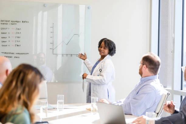 Hybrid5 days
Strategic management training for healthcare leaders. Build sustainable, patient-centered, and innovative health systems.
 Hybrid5 days
Equip healthcare professionals with AI literacy, digital competencies, and practical knowledge to support smarter healthcare delivery.
 Hybrid5 days
Learn to apply AI and predictive analytics to prevent workplace accidents and improve safety performance.
Course finder
Find the right course for you
Prefer to talk it through? Send us an enquiry and a facilitator will scope a fit within a business day.
For corporate teams
Training 10+ professionals?
We deliver Training on GIS and Remote Sensing for Epidemiology and Public Health in-house at your offices, at a venue we arrange, or fully virtual. Customise the curriculum against your KPIs, and get a bespoke price for the cohort size you need.