
Training on QGIS for Beginners- Open Source GIS Mastery
Master open-source GIS with practical QGIS training for mapping and decision-making.
Next intake
20 Jul 2026 · Dakar
Duration
5 days
Live instruction
Delivery
Physical + Virtual
Cohort based
Level
Foundation
Working professionals
Certification
NITA reimbursable
For Kenyan cohorts
Language
English
All materials
About this programme
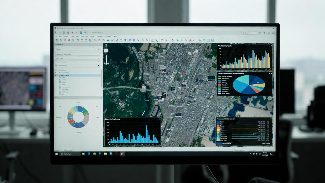
This course builds foundational and practical capacity in Geographic Information Systems (GIS) using QGIS, the world’s leading open-source GIS platform. It is designed to enable learners to confidently work with spatial data for mapping, analysis, and decision support across multiple sectors.
The course introduces core GIS concepts, spatial data handling, map production, and basic spatial analysis using real-world datasets. Emphasis is placed on practical application, usability, and developing repeatable GIS workflows that support planning, monitoring, and reporting functions.
Duration
5 Days
Who Should Attend
-
GIS beginners and new practitioners
-
Government and local authority staff
-
NGO and development professionals
-
Environmental, agriculture, and planning officers
-
Researchers, students, and data officers
-
Organizations adopting open-source GIS solutions
What you'll walk away with
By the end of the course, participants will be able to:
-
Understand fundamental GIS concepts and terminology
-
Navigate the QGIS interface and tools
-
Create, edit, and manage spatial datasets
-
Perform basic spatial analysis and queries
-
Produce professional-quality maps and reports
What we cover, module by module
Module 1: Introduction to GIS & QGIS Environment
-
GIS concepts and applications
-
QGIS interface, tools, and plugins
-
Spatial data types and formats
-
Case Study:GIS applications in planning and development
Module 2: Data Management & Editing in QGIS
-
Importing and managing spatial data
-
Attribute tables and data editing
-
Coordinate reference systems
-
Case Study:Building and managing a spatial database
Module 3: Spatial Analysis & Geoprocessing
-
Vector and raster analysis basics
-
Spatial queries and overlays
-
Introduction to geoprocessing tools
-
Case Study:Site suitability analysis
Module 4: Map Design, Visualization & Outputs
-
Cartographic principles
-
Map layouts and symbology
-
Exporting maps for print and digital use
-
Case Study:Creating decision-ready maps
Module 5: Applied GIS Workflows & Practical Project
-
Integrating datasets for analysis
-
Basic automation and workflow design
-
Capstone project: End-to-end GIS mapping exercise
Where the change lands
Individual Impact
-
Confidence in using QGIS for everyday GIS tasks
-
Strong foundation for advanced GIS and remote sensing work
-
Improved analytical and mapping skills
Organizational Impact
-
Reduced reliance on proprietary GIS software
-
Improved data-driven planning and reporting
-
Cost-effective adoption of open-source geospatial solutions
Dates and locations
Upcoming intakes
Every intake is limited to a small cohort. Booking closes when a date fills or three weeks before the start, whichever comes first.
| City | Starts | Ends | Delivery | Book |
|---|---|---|---|---|
DakarNext | 20 Jul 2026 | 24 Jul 2026 | In-Person | Book |
Johannesburg | 20 Jul 2026 | 24 Jul 2026 | In-Person | Book |
Dar es Salaam | 20 Jul 2026 | 24 Jul 2026 | In-Person | Book |
Nakuru | 20 Jul 2026 | 24 Jul 2026 | In-Person | Book |
Pretoria | 27 Jul 2026 | 31 Jul 2026 | In-Person | Book |
Kisumu | 27 Jul 2026 | 31 Jul 2026 | In-Person | Book |
- DakarNext
20 Jul → 24 Jul·In-Person
Book this intake - Johannesburg
20 Jul → 24 Jul·In-Person
Book this intake - Dar es Salaam
20 Jul → 24 Jul·In-Person
Book this intake - Nakuru
20 Jul → 24 Jul·In-Person
Book this intake - Pretoria
27 Jul → 31 Jul·In-Person
Book this intake - Kisumu
27 Jul → 31 Jul·In-Person
Book this intake
Common questions.
Still not sure? Send us a note and a facilitator will get back to you within a business day.
You may also like.
Programmes in the same discipline that participants often pair with this course.
 Hybrid10 days
Learn AI and computer vision for urban growth monitoring and informal settlement mapping using satellite imagery, GIS, deep learning, and spatial analytics.
 Hybrid10 days
Learn AI-powered disaster damage assessment using satellite imagery, machine learning, GIS, and remote sensing for rapid response and recovery planning.
 Hybrid10 days
Learn AI-powered water body and flood extent mapping using SAR data, machine learning, GIS, and remote sensing for disaster management and water resources.
Course finder
Find the right course for you
Prefer to talk it through? Send us an enquiry and a facilitator will scope a fit within a business day.
For corporate teams
Training 10+ professionals?
We deliver Training on QGIS for Beginners- Open Source GIS Mastery in-house at your offices, at a venue we arrange, or fully virtual. Customise the curriculum against your KPIs, and get a bespoke price for the cohort size you need.