
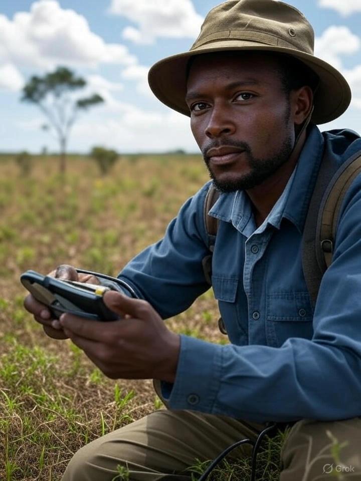
Training on Remote Sensing Field Techniques and Ground Truthing
Master remote sensing and ground truthing. This course provides key skills to combine data with field verification for greater accuracy.
Next intake
20 Jul 2026 · Nakuru
Duration
10 days
Live instruction
Delivery
Physical + Virtual
Cohort based
Level
Advanced
Working professionals
Certification
NITA reimbursable
For Kenyan cohorts
Language
English
All materials
About this programme
This course provides participants with practical knowledge and hands-on experience in remote sensing field data collection and ground truthing techniques to support the validation and accuracy assessment of satellite and aerial imagery. Participants will learn how to design field surveys, collect geospatial data using GPS, drones, and field sensors, and integrate this information with remote sensing products for improved environmental monitoring, land use planning, agriculture, forestry, and disaster management. Special emphasis will be placed on field protocols, sampling design, quality control, and linking field measurements to spectral data.
Duration
10 Days
Who Should Attend
-
Remote sensing and GIS professionals
-
Environmental scientists and natural resource managers
-
Forestry and agriculture specialists
-
Disaster risk management practitioners
-
Urban and regional planners
-
Climate change researchers
-
Field surveyors and monitoring officers
-
Graduate students and researchers in geospatial sciences
What you'll walk away with
By the end of this course, participants will be able to:
-
Understand the principles and importance of ground truthing in remote sensing
-
Design and implement field surveys for data collection
-
Operate GPS, UAVs, and other field instruments for ground validation
-
Apply sampling strategies for accuracy assessment
-
Integrate field data with remote sensing imagery for classification and calibration
-
Conduct sector-specific applications in agriculture, forestry, climate, and disaster risk management
What we cover, module by module
Module 1: Introduction to Remote Sensing and Ground Truthing
-
Role of ground truthing in remote sensing projects
-
Accuracy assessment and validation frameworks
-
Overview of tools: GPS, UAVs, spectroradiometers
-
Case study: Validating land cover maps with field surveys
Module 2: Field Survey Design and Sampling Strategies
-
Random, stratified, and systematic sampling techniques
-
Planning field campaigns and selecting sites
-
Dealing with accessibility and logistical challenges
-
Case study: Sampling design for agricultural crop surveys
Module 3: GPS and Mobile Data Collection Tools
-
Using handheld GPS and mobile apps for georeferencing
-
Data logging and error minimization techniques
-
Introduction to open-source field data collection platforms (e.g., ODK, KoboToolbox)
-
Case study: Collecting geospatial data for urban mapping
Module 4: UAVs and Drone-Based Field Techniques
-
Drone operations for high-resolution mapping
-
Flight planning, data capture, and safety protocols
-
Processing UAV imagery and linking with ground data
-
Case study: UAV-based crop health monitoring
Module 5: Spectral Measurements and Field Sensors
-
Spectroradiometers and field spectrometers
-
Measuring vegetation indices, soil properties, and water quality
-
Linking field spectral signatures with satellite imagery
-
Case study: Forest canopy health assessment
Module 6: Data Quality Control and Error Assessment
-
Common sources of field data errors
-
Techniques for minimizing positional and measurement errors
-
Field data verification and documentation standards
-
Case study: Accuracy assessment of land use/land cover classification
Module 7: Integration of Field Data with Remote Sensing Imagery
-
Georeferencing and integrating field points with imagery
-
Ground truthing for supervised classification
-
Calibration of vegetation indices using field data
-
Case study: Crop yield estimation with remote sensing and field data
Module 8: Sector Applications of Field Techniques
-
Agriculture: crop monitoring, yield forecasting
-
Forestry: biomass estimation, deforestation monitoring
-
Urban: infrastructure mapping, informal settlement validation
-
Disaster management: flood and landslide verification
-
Case study: Multi-sector applications in climate resilience
Module 9: Emerging Tools and Technologies
-
Mobile GIS applications for real-time data collection
-
Cloud-based data integration (Google Earth Engine, ArcGIS Online)
-
AI and machine learning for field data processing
-
Case study: Using AI for automated ground truth data collection
Module 10: Field Project Design and Best Practices
-
Developing a field data collection workflow
-
Ethical and safety considerations in fieldwork
-
Documentation, reporting, and data sharing protocols
-
Group project: Designing a field campaign plan for agriculture, forestry, or urban planning
Where the change lands
Organizational Impact
-
Improved accuracy of geospatial data products for planning and monitoring
-
Stronger capacity to validate and calibrate satellite imagery with field data
-
Enhanced decision-making for agriculture, forestry, urban development, and disaster response
-
Reduced dependency on external consultants for field validation exercises
-
Increased credibility of reports and assessments through scientifically validated data
Individual Impact
-
Proficiency in ground truthing and field validation methods
-
Ability to design and execute field campaigns effectively
-
Practical skills in using GPS, drones, and field sensors
-
Confidence in integrating field data with remote sensing products
-
Enhanced career prospects in geospatial research and applied project work
Dates and locations
Upcoming intakes
Every intake is limited to a small cohort. Booking closes when a date fills or three weeks before the start, whichever comes first.
| City | Starts | Ends | Delivery | Book |
|---|---|---|---|---|
NakuruNext | 20 Jul 2026 | 31 Jul 2026 | In-Person | Book |
Kigali | 20 Jul 2026 | 31 Jul 2026 | In-Person | Book |
Accra | 20 Jul 2026 | 31 Jul 2026 | In-Person | Book |
Kisumu | 27 Jul 2026 | 07 Aug 2026 | In-Person | Book |
Johannesburg | 27 Jul 2026 | 07 Aug 2026 | In-Person | Book |
Dakar | 27 Jul 2026 | 07 Aug 2026 | In-Person | Book |
- NakuruNext
20 Jul → 31 Jul·In-Person
Book this intake - Kigali
20 Jul → 31 Jul·In-Person
Book this intake - Accra
20 Jul → 31 Jul·In-Person
Book this intake - Kisumu
27 Jul → 07 Aug·In-Person
Book this intake - Johannesburg
27 Jul → 07 Aug·In-Person
Book this intake - Dakar
27 Jul → 07 Aug·In-Person
Book this intake
Common questions.
Still not sure? Send us a note and a facilitator will get back to you within a business day.
You may also like.
Programmes in the same discipline that participants often pair with this course.
 Hybrid10 days
Learn AI and computer vision for urban growth monitoring and informal settlement mapping using satellite imagery, GIS, deep learning, and spatial analytics.
 Hybrid10 days
Learn AI-powered disaster damage assessment using satellite imagery, machine learning, GIS, and remote sensing for rapid response and recovery planning.
 Hybrid10 days
Learn AI-powered water body and flood extent mapping using SAR data, machine learning, GIS, and remote sensing for disaster management and water resources.
Course finder
Find the right course for you
Prefer to talk it through? Send us an enquiry and a facilitator will scope a fit within a business day.
For corporate teams
Training 10+ professionals?
We deliver Training on Remote Sensing Field Techniques and Ground Truthing in-house at your offices, at a venue we arrange, or fully virtual. Customise the curriculum against your KPIs, and get a bespoke price for the cohort size you need.