
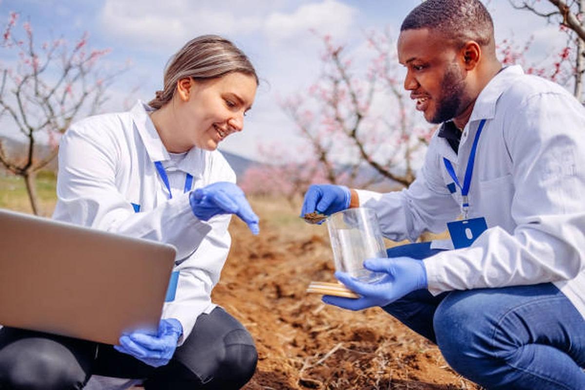
Training on AI & Remote Sensing Integration for Drought and Water Scarcity Forecasting
Learn how AI, satellite imagery, and remote sensing technologies support drought monitoring and water scarcity forecasting.
Next intake
20 Jul 2026 · Nakuru
Duration
5 days
Live instruction
Delivery
Physical + Virtual
Cohort based
Level
Intermediate
Working professionals
Certification
NITA reimbursable
For Kenyan cohorts
Language
English
All materials
About this programme
The Training on AI & Remote Sensing Integration for Drought and Water Scarcity Forecasting is a specialized capacity-building programme designed to equip professionals with advanced skills in leveraging Artificial Intelligence (AI), satellite imagery, remote sensing technologies, and geospatial analytics for drought monitoring, water resource assessment, and early warning systems. The course explores how AI-driven predictive models and earth observation data can support proactive decision-making, climate resilience, water security, and sustainable resource management. Through practical exercises, real-world case studies, and applied forecasting techniques, participants will gain the expertise required to enhance drought preparedness and strengthen water resource planning.
Duration
5 Days
Who Should Attend
- Water resource managers and planners
- Climate change and environmental specialists
- Hydrologists and meteorologists
- GIS and remote sensing professionals
- Disaster risk management practitioners
- Agricultural and food security officers
- Government agencies and policymakers
- Researchers and development practitioners
- WASH programme managers and technical staff
What you'll walk away with
By the end of the training, participants will be able to:
- Understand the role of AI and remote sensing in drought forecasting
- Analyze satellite-derived data for water resource monitoring
- Apply AI models for drought prediction and risk assessment
- Develop early warning systems for water scarcity management
- Integrate geospatial analytics into decision-making processes
- Strengthen climate resilience and water security planning
What we cover, module by module
Module 1: Fundamentals of Drought Monitoring and Remote Sensing
- Drought types, indicators, and impacts
- Introduction to remote sensing and earth observation
- Satellite platforms and data sources
- Case Study: Drought monitoring applications
Module 2: Geospatial Data Analysis for Water Resource Assessment
- GIS and remote sensing integration
- Vegetation, soil moisture, and rainfall indices
- Water resource mapping and monitoring
- Practical: Analyzing satellite-derived datasets
Module 3: Artificial Intelligence for Drought Forecasting
- AI and machine learning fundamentals
- Predictive analytics for drought risk assessment
- AI models for forecasting water scarcity
- Practical: Developing basic forecasting models
Module 4: Early Warning Systems and Decision Support
- Designing drought and water scarcity early warning systems
- Data visualization and dashboard development
- Risk communication and stakeholder engagement
- Case Study: AI-enabled early warning systems
Module 5: Strategic Planning, Resilience & Implementation
- Climate adaptation and resilience planning
- Integrating forecasts into water resource management
- Policy, governance, and operational frameworks
- Practical: Developing a drought forecasting and response action plan
Where the change lands
Individual Impact
- Enhanced expertise in AI, remote sensing, and geospatial analytics
- Improved forecasting and risk assessment capabilities
- Strengthened technical skills in climate and water resource management
Organizational Impact
- Improved drought preparedness and response planning
- Enhanced water resource monitoring and decision-making
- Stronger climate resilience and early warning capabilities
Dates and locations
Upcoming intakes
Every intake is limited to a small cohort. Booking closes when a date fills or three weeks before the start, whichever comes first.
| City | Starts | Ends | Delivery | Book |
|---|---|---|---|---|
NakuruNext | 20 Jul 2026 | 24 Jul 2026 | In-Person | Book |
Kigali | 20 Jul 2026 | 24 Jul 2026 | In-Person | Book |
Accra | 20 Jul 2026 | 24 Jul 2026 | In-Person | Book |
Kisumu | 27 Jul 2026 | 31 Jul 2026 | In-Person | Book |
Johannesburg | 27 Jul 2026 | 31 Jul 2026 | In-Person | Book |
Dakar | 27 Jul 2026 | 31 Jul 2026 | In-Person | Book |
- NakuruNext
20 Jul → 24 Jul·In-Person
Book this intake - Kigali
20 Jul → 24 Jul·In-Person
Book this intake - Accra
20 Jul → 24 Jul·In-Person
Book this intake - Kisumu
27 Jul → 31 Jul·In-Person
Book this intake - Johannesburg
27 Jul → 31 Jul·In-Person
Book this intake - Dakar
27 Jul → 31 Jul·In-Person
Book this intake
Common questions.
Still not sure? Send us a note and a facilitator will get back to you within a business day.
You may also like.
Programmes in the same discipline that participants often pair with this course.
 Hybrid5 days
Build expertise in AI-driven water resource planning to strengthen water security, resilience, and climate adaptation.
 Hybrid5 days
Learn AI-powered groundwater and aquifer sustainability modeling using machine learning, GIS and geospatial analytics for water resource planning and management
 Hybrid5 days
Build practical skills in smart water meter analytics, demand forecasting, and AI-enabled water utility optimization.
Course finder
Find the right course for you
Prefer to talk it through? Send us an enquiry and a facilitator will scope a fit within a business day.
For corporate teams
Training 10+ professionals?
We deliver Training on AI & Remote Sensing Integration for Drought and Water Scarcity Forecasting in-house at your offices, at a venue we arrange, or fully virtual. Customise the curriculum against your KPIs, and get a bespoke price for the cohort size you need.