
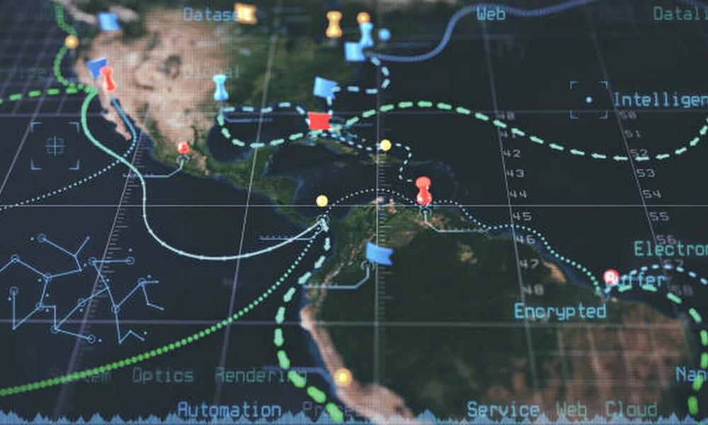
Training on Humanitarian Crisis Mapping and Geospatial Analysis
Produce actionable maps for humanitarian decision-making. Gain skills in QGIS, remote sensing, and field data collection.
Next intake
20 Jul 2026 · Nakuru
Duration
10 days
Live instruction
Delivery
Physical + Virtual
Cohort based
Level
Advanced
Working professionals
Certification
NITA reimbursable
For Kenyan cohorts
Language
English
All materials
About this programme
This advanced course provides specialized training on crisis mapping and geospatial analysis for humanitarian response. Participants will learn to use geographic information systems (GIS), remote sensing, and mapping tools to support needs assessment, situational awareness, logistics planning, and monitoring in humanitarian emergencies.
Who Should Attend:
-
GIS and Information Management Officers in NGOs
-
Humanitarian Analysts and Situational Awareness Staff
-
Emergency Response Coordinators
-
Logistics and Operations Planners
What you'll walk away with
-
Use GIS tools for humanitarian crisis mapping and analysis.
-
Apply remote sensing and satellite imagery for needs assessment and damage assessment.
-
Produce maps and geospatial products for operational decision-making.
-
Integrate geospatial analysis into logistics, security, and program planning.
What we cover, module by module
Module 1: Geospatial Analysis in Humanitarian Response
-
The role of mapping and geospatial analysis in humanitarian action.
-
Key applications: situational awareness, needs assessment, logistics, security, and monitoring.
-
Humanitarian mapping communities: MapAction, HOT (Humanitarian OpenStreetMap Team), and GISCorps.
-
Case Study/Hands-on Exercise: Analyze how geospatial analysis was used in a recent humanitarian response, identifying key products and their impact on decision-making.
Module 2: Introduction to GIS for Humanitarian Contexts
-
Basic GIS concepts: coordinate systems, projections, and data models (raster and vector).
-
Open-source and commercial GIS software: QGIS, ArcGIS, and online platforms.
-
Key data sources: OpenStreetMap, satellite imagery, and administrative boundaries.
-
Case Study/Hands-on Exercise: Navigate QGIS interface, add base layers (roads, settlements, administrative boundaries), and create a basic location map.
Module 3: Remote Sensing and Satellite Imagery
-
Types of satellite imagery: optical, radar, and thermal.
-
Sources of free and commercial imagery: Sentinel, Landsat, Planet, and MAXAR.
-
Pre- and post-disaster image comparison for damage assessment.
-
Case Study/Hands-on Exercise: Access satellite imagery for a disaster-affected area, compare pre- and post-event images, and identify damaged infrastructure.
Module 4: Rapid Damage Assessment and Needs Mapping
-
Using remote sensing for rapid damage assessment (building damage, infrastructure).
-
Integrating field data with satellite imagery.
-
Mapping population distribution and vulnerable areas.
-
Case Study/Hands-on Exercise: Conduct a rapid damage assessment for a flood-affected area using satellite imagery and produce a damage severity map.
Module 5: Logistics and Route Planning with GIS
-
Mapping road networks, bridges, and infrastructure status.
-
Route planning for humanitarian convoys: distance, travel time, and security constraints.
-
Identifying logistics hubs, warehouses, and distribution points.
-
Case Study/Hands-on Exercise: Use GIS to plan the most efficient route for a humanitarian convoy from a warehouse to multiple distribution points, considering road damage and security constraints.
Module 6: Population Estimation and Displacement Mapping
-
Estimating affected populations using settlement data and density.
-
Mapping displacement: camp locations, informal settlements, and host communities.
-
Integrating population data with needs assessment.
-
Case Study/Hands-on Exercise: Estimate the population in a disaster-affected area using settlement footprint data and population density assumptions, and map potential displacement sites.
Module 7: Security Mapping and Situational Awareness
-
Mapping security incidents, access constraints, and risk zones.
-
Creating security situation maps for humanitarian staff.
-
Integrating real-time incident reporting into GIS.
-
Case Study/Hands-on Exercise: Create a security situation map for a humanitarian operation, including incident locations, access restrictions, and risk zones.
Module 8: Field Data Collection and Mobile GIS
-
Using mobile devices for field data collection (GPS, ODK, Kobo, and mobile GIS apps).
-
Collecting georeferenced data on needs, damage, and access.
-
Integrating field data with satellite and administrative data.
-
Case Study/Hands-on Exercise: Design a mobile data collection form for a rapid needs assessment, including geolocation, and simulate data collection and integration into GIS.
Module 9: Producing Maps for Humanitarian Decision-Making
-
Map design principles for humanitarian audiences: clarity, accuracy, and relevance.
-
Types of maps: reference maps, thematic maps, and situational awareness maps.
-
Adding scale bars, north arrows, legends, and metadata.
-
Case Study/Hands-on Exercise: Produce a professional-quality map for a humanitarian response, including base data, thematic layers, and appropriate cartographic elements.
Module 10: Information Management and Coordination
-
Humanitarian information management frameworks and standards.
-
Sharing geospatial data within clusters and coordination mechanisms.
-
Common operational datasets (CODs) and fundamental operational datasets (FODs).
-
Case Study/Hands-on Exercise: Develop an information management plan for a humanitarian response, including data sharing protocols, map production schedule, and coordination with partners.
Where the change lands
Organizational Impacts:
-
Improved situational awareness and evidence-based decision-making.
-
Enhanced targeting and coverage analysis for humanitarian assistance.
-
Faster and more efficient logistics and response planning.
Individual Impacts:
-
Mastery of GIS tools and crisis mapping methodologies.
-
Expertise in using remote sensing and satellite imagery for needs assessment.
-
Skills to produce maps and geospatial analyses for humanitarian decision-making.
Dates and locations
Upcoming intakes
Every intake is limited to a small cohort. Booking closes when a date fills or three weeks before the start, whichever comes first.
| City | Starts | Ends | Delivery | Book |
|---|---|---|---|---|
NakuruNext | 20 Jul 2026 | 31 Jul 2026 | In-Person | Book |
Kigali | 20 Jul 2026 | 31 Jul 2026 | In-Person | Book |
Accra | 20 Jul 2026 | 31 Jul 2026 | In-Person | Book |
Kisumu | 27 Jul 2026 | 07 Aug 2026 | In-Person | Book |
Johannesburg | 27 Jul 2026 | 07 Aug 2026 | In-Person | Book |
Dakar | 27 Jul 2026 | 07 Aug 2026 | In-Person | Book |
- NakuruNext
20 Jul → 31 Jul·In-Person
Book this intake - Kigali
20 Jul → 31 Jul·In-Person
Book this intake - Accra
20 Jul → 31 Jul·In-Person
Book this intake - Kisumu
27 Jul → 07 Aug·In-Person
Book this intake - Johannesburg
27 Jul → 07 Aug·In-Person
Book this intake - Dakar
27 Jul → 07 Aug·In-Person
Book this intake
Common questions.
Still not sure? Send us a note and a facilitator will get back to you within a business day.
You may also like.
Programmes in the same discipline that participants often pair with this course.
 Hybrid5 days
Manage displacement sites effectively. This intermediate course covers site planning, community participation, and camp closure.
 Hybrid5 days
Master Cash and Voucher Assistance (CVA) in humanitarian action. Learn modality selection, market assessment, and delivery mechanisms.
 Hybrid10 days
Protect children in emergencies, displacement, and armed conflict. This course covers CPMS, child-friendly spaces, and reintegration.
Course finder
Find the right course for you
Prefer to talk it through? Send us an enquiry and a facilitator will scope a fit within a business day.
For corporate teams
Training 10+ professionals?
We deliver Training on Humanitarian Crisis Mapping and Geospatial Analysis in-house at your offices, at a venue we arrange, or fully virtual. Customise the curriculum against your KPIs, and get a bespoke price for the cohort size you need.